 |
|
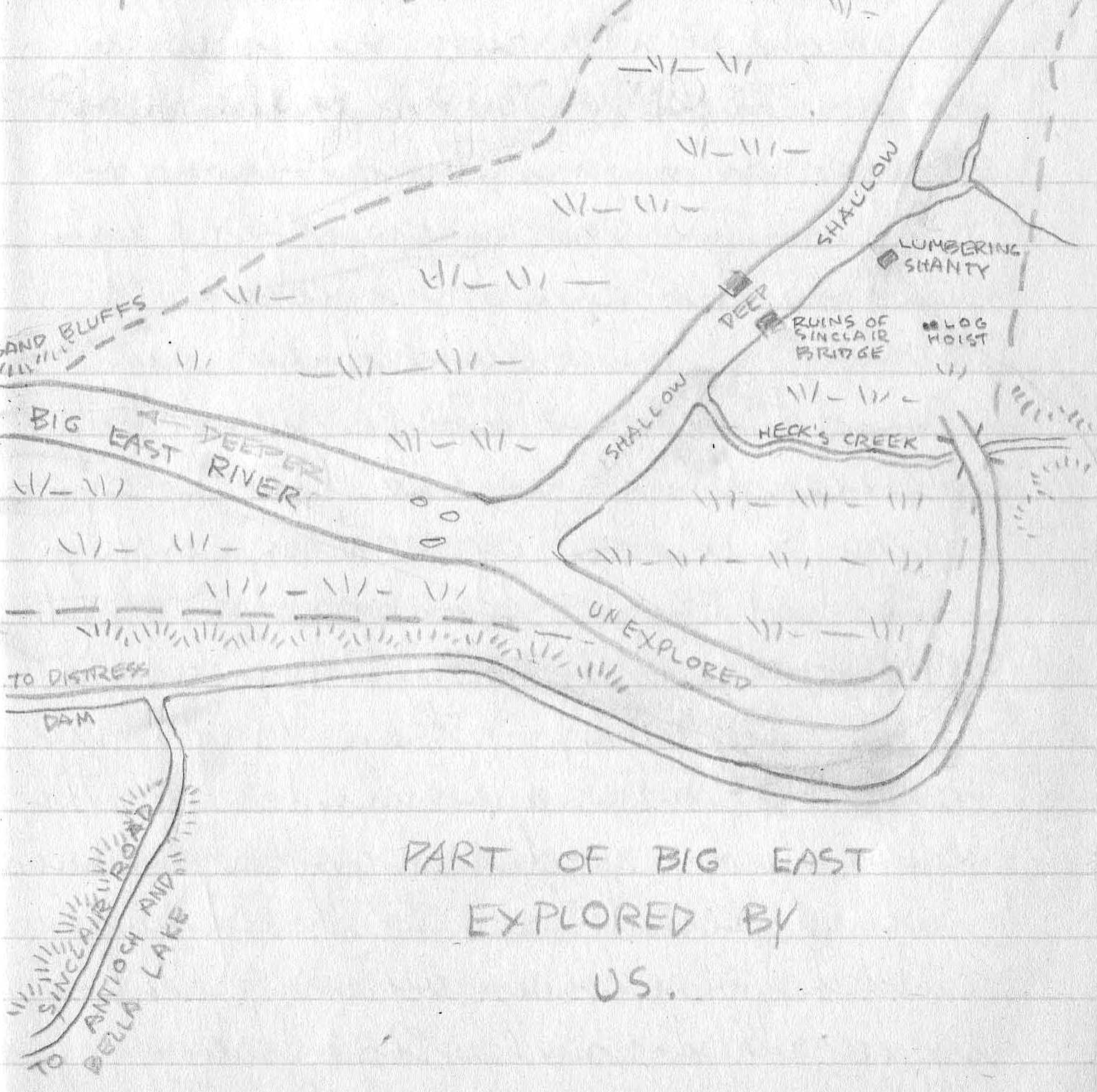
“Part of the Big East Explored by Us,” drawn by Dick Mansell in his journal in July 1940. Three years earlier – at age 15 – Dick had drawn a detailed and annotated map of “Rebecca and Sand Lakes,” taking as his sources existing maps for Camp Billie Bear and Tynoka Lodge, as well as “observations of my own,” no doubt acquired on many excursions. (Wendy Kimmel) |
| Use Ctrl + to enlarge, Ctrl - to reduce size |
Return to Article |
Project of the Bella-Rebecca Community Association Historical Committee © BRCA 2019 |